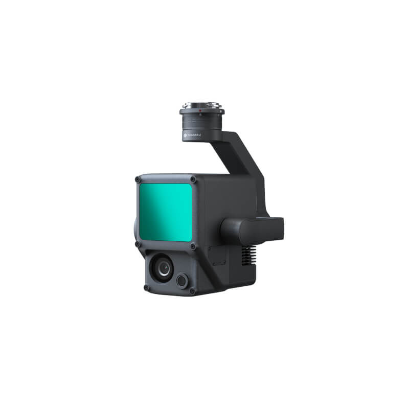
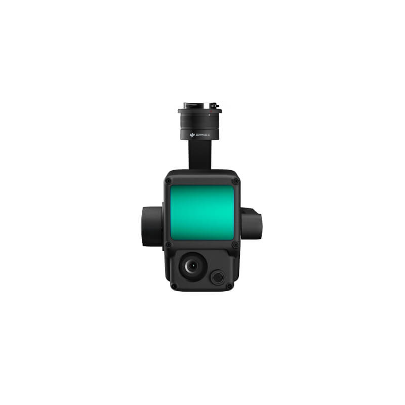
Zenmuse L1
KEY FEATURES:
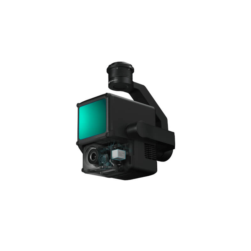
• Integrates a Lidar module,an RGB camera, and a high-accuracy IMU
• High Efficiency 2 km2 covered in a single flight
• High Accuracy Vertical Accuracy: 5 cm / Horizontal Accuracy: 10 cm
• Point Rate: 240,000 pts/s
• Supports 3 Returns
• Detection Range: 450 m (80% reflectivity, 0 klx)
• IP54 Ingress Protection Level
• Point Cloud LiveView
Description
Zenmuse L1
Digitize without Compromise
Zenmuse L1 /Exceptional Efficiency
Generate true-color point cloud models in real-time, or acquire 2 km2 of point cloud data in a single flight using the Livox frame Lidar module with a 70° FOV and a visible light camera with a 1-inch sensor.
Unparalleled Accuracy
Render centimeter-accurate reconstructions thanks to the high-accuracy IMU, a vision sensor for positioning accuracy, and the incorporation of GNSS data.
Ready When You Are
The IP54 rating allows the L1 to be operated in rainy or foggy environments. The Lidar module’s active scanning method enables you to fly at night.
Visualize Data as You Fly
Livox Lidar Module
-Frame Lidar with up to 100% effective point cloud results
-Detection Range: 450m (80% reflectivity, 0 klx) / 190 m (10% reflectivity, 100 klx)
-Effective Point Rate: 240,000 pts/s
-Supports 3 Returns
-Non-repetitive scanning pattern, Repetitive scanning pattern
Everything in View
RGB Camera
– 20MP
– 1-inch CMOS
– Mechanical Shutter
Accurate Details at Your Disposal
High-accuracy IMU
-Vision Sensor for Positioning Accuracy
-GNSS, IMU, RGB Data Fusion
Point Cloud LiveView
Real-time point clouds provide immediate insights onsite, so operators are informed to make critical decisions quickly.
You can also verify fieldwork quality by checking point cloud data immediately after each flight.
Measurement and Annotation
Acquire and communicate critical dimensions on the point cloud model using measurements and annotations.
One-stop Post-processing
DJI Terra fuses the IMU and GNSS data for point cloud and visible light calculations, in addition to conducting POS data calculations so you can effortlessly generate reconstructed models and accuracy reports.
You can check other Drones/Unmanned aerial vehicles and systems at this link.
Specifications
| Dimensions | 152×110×169 mm |
|---|---|
| Weight | 930±10 g |
| Power | Typical: 30 W; Max: 60 W |
| Supported Aircraft | Matrice 300 RTK |
| Resolution | 1280×960 |
| Effective Pixels | 20 MP |
| Photo Format | JPEG |
| Video Format | MOV, MP4 |
Informations
PRIORITY SHIPPING
We ship our products by most trusted shipping agencies – UPS & DHL
SHIPPING WORLDWIDE
We ship to any part of our World
FREE & FAST SHIPPING
Doesn’t matter where we will send instruments and equipment, shipment is free
ASSISTANCE
Contact us on +38766162261 (Mobile+ Viber + WhatsApp)
Bosna i Hercegovina
+38766162261
Serbia
+381640114686
Montenegro
+38267239669
E-mail [email protected].
Only logged in customers who have purchased this product may leave a review.


Reviews
There are no reviews yet.