
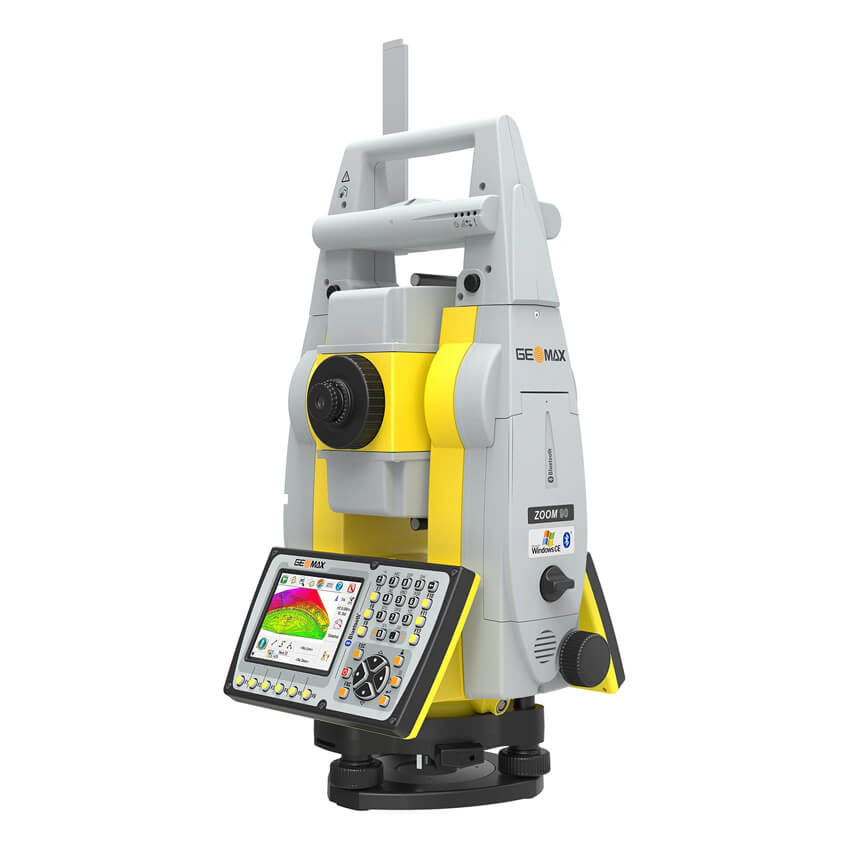
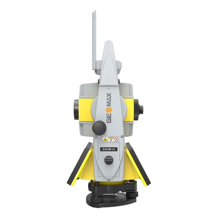
GeoMax Zoom 90 R A5 2″ Package
NavLight
EDM technology full connectivity
accXXess
Fully robotic
GeoTRAil
Scout
TRack
AiM
Description
GeoMax Zoom90 R A5 2″ Package
GeoMax Zoom 90 R A5 2″ Package – Series fulfills all your needs with one-man fully-operational robotic total stations. Zoom90 is the ultimate one-man system with up to 20% more automation performance, extended reflectorless measurement capability, STReAM360, accXess technologies and Windows CE open connectivity. Because a perfect solution is more than its single components, the Zoom90 seamless integration makes it the ultimate solution.
- NavLight
- Fitted as standard in the telescope, the NavLight is an efficient alignment aid, helping to speed up work while setting out. Its flashing red and yellow lights will guide you quickly and exactly to the line of sight.
- EDM technology full connectivity
- GeoMax’s accXXess EDM Technology in the Zoom90 provides leading reflectorless measurements up to 1,000 metres. The extra small laser footprint and the sophisticated signal-processing technology ensures the highest accuracy, regardless of the distance or conditions.
Fully robotic
- GeoTRAil
- Supporting this new field software functionality enables the Zoom90 to catch your prism based on the GNSS position transferred from your field controller. Due to its seamless integration in various field software solutions, it is simple and easy to use.
- Scout
- In addition to GeoTRAil the Zoom90 incorporates the Scout technology where a vertical laser fan is emitted from the rotating instrument. As soon as reflections from a prism are received, the Zoom90 accurately aims towards this prism.
- TRack
- Another element of the STReAM360 is the tracking functionality; the Zoom90 is continuously tracking the target. Once locked onto, the instrument remains accurately aimed even on fast moving targets.
- AiM
- GeoMax Zoom 90 R A5 2″ Package aims accurately at any prism, without the need to look through the telescope. Highly reliable measurements are performed automatically and are consistently repeatable.
You can also check other total stations at this link.
Specifications
| Brand | |
|---|---|
| Accuracy | 2" |
| Compensation | Quadruple axis |
| Distance measurement on prism | Long mode: >10,000 m, Standard mode: 3500 m |
| Distance measurement non-prism (reflectorless) | accXess5 technology 500 m |
| Red pointer footprint | 8×20 mm at 50 m |
| Weight | 5.0 – 5.3 kg (w/o battery and tribrach) |
| Keyboard | Full alphanumeric; 35 keys; illuminated (2nd optional) |
| Display | Full VGA 640 x 480 color and touch with LED backlight |
| Data recording | 1 GB internal memory, Removable SD card, USB stick |
| Interface / Ports | External power, Internal Bluetooth®, Long-range Bluetooth® handle, Serial, USB |
| Camera | No |
| Operating time | 7-10 h |
| Type of plummet | Laser point, adjustable brightness, accuracy 1.5 mm at 1.5 m instrument height |
| Operating System | Microsoft® Windows® CE 6.0 |
| Type of use | Automatic, Full robotic, Manual, Motorized |
| Smart Station / Rover | Yes |
| Software | External X-Pad Ultimate Survey, GeoMax On board, X-Pad Ultimate Survey |
| Warranty | 1 year (Extendable for up to 2 years more) |
Informations
PRIORITY SHIPPING
We ship our products by most trusted shipping agencies – UPS & DHL
SHIPPING WORLDWIDE
We ship to any part of our World
FREE & FAST SHIPPING
Doesn’t matter where we will send instruments and equipment, shipment is free
ASSISTANCE
Contact us on +38766162261 (Mobile+ Viber + WhatsApp)
Bosna i Hercegovina
+38766162261
Serbia
+381640114686
Montenegro
+38267239669
E-mail [email protected].
Only logged in customers who have purchased this product may leave a review.


Reviews
There are no reviews yet.