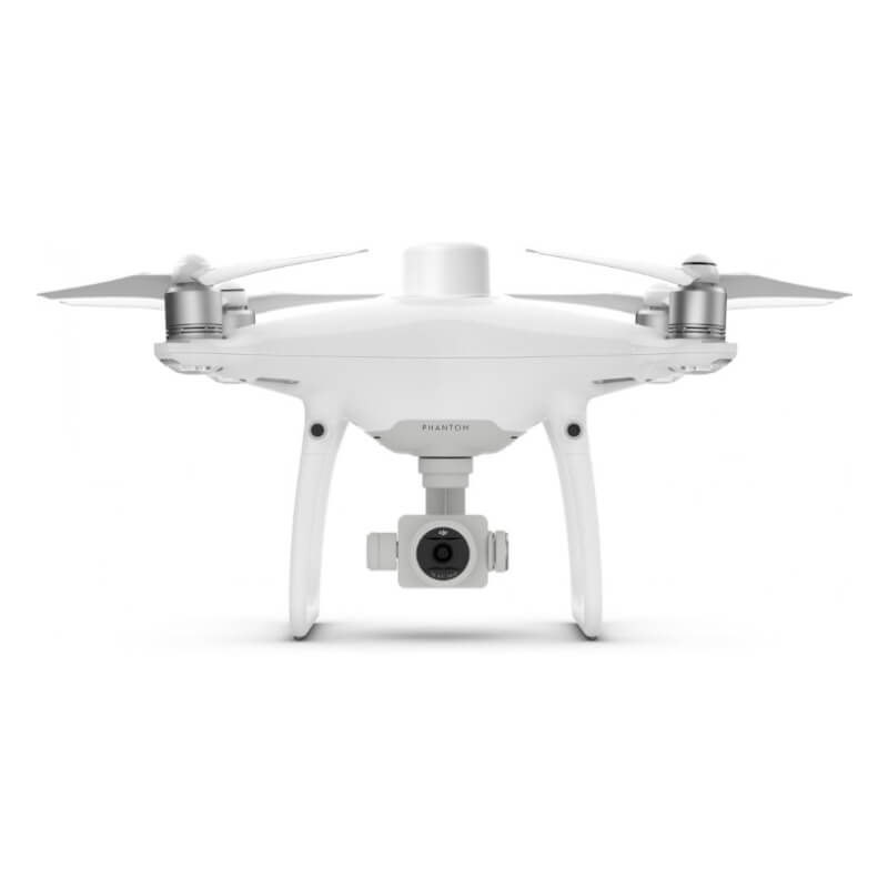
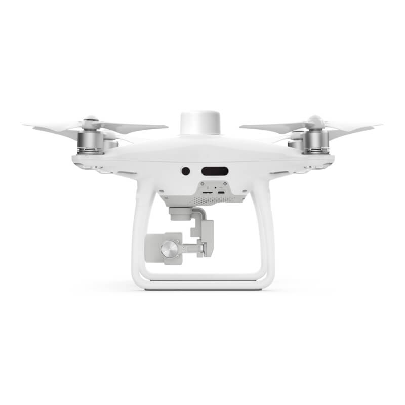
DJI Phantom 4 RTK
Description
PHANTOM 4 RTK
Visionary Intelligence. Elevated Accuracy.
Upgrade your next mapping mission with the Phantom 4 RTK – the most compact and accurate low altitude mapping solution.
Centimeter-Level Positioning System
A new RTK module is integrated directly into the Phantom 4 RTK. It provides real-time, centimeter-level positioning data for improved absolute accuracy on image metadata. In addition to optimized flight safety and precise data collection, the Phantom 4 RTK stores satellite observation data to be used for PPK. It can be conducted using DJI Cloud PPK Service. Fit the Phantom 4 RTK to any workflow, with the ability to connect this positioning system.
Gather Accurate Data with TimeSync
The new TimeSync system was created to continually align the flight controller, camera and RTK module. Additionally, TimeSync ensures each photo uses the most accurate metadata and fixes the positioning data to optical center of the lens. It is optimizing the results from photogrammetric methods and letting the image achieve centimeter-level positioning data.
Precise Imaging System
Capture the best image data with a 1-inch, 20-megapixel CMOS sensor. Due to the high resolution, the Phantom 4 RTK can achieve a ground sample distance (GSD) of 2.74 cm at 100 meters flight altitude. To ensure each Phantom 4 RTK offers unparalleled accuracy, every single camera lens goes through a rigorous calibration process. With parameters saved into each image’s metadata, letting post-processing software adjust uniquely for every user.
Built for Surveyors
A new DJI GS RTK app and Remote Controller with built-in screen, giving users a streamlined control scheme for surveying missions and also other data acquisition scenarios. The GS RTK app allows pilots to intelligently control their Phantom 4 RTK. With multiple planning modes, it includes Photogrammetry (2D and 3D), Waypoint Flight, Terrain Awareness, Block Segmentation*, and more. Users can also import KML/KMZ files to optimize the workflow for their missions. With the built-in screen, pilots can clearly view and plan their missions on an ultra-bright, 5.5-inch HD display.
Access a Variety of 3rd Party Applications
Pilots with experience using 3rd party apps on DJI drones can access the world’s leading drone app ecosystem with the SDK Remote Controller.
Seamless Compatibility with D-RTK 2 Mobile Station
Providing real-time differential data to the drone and forming an accurate surveying solution, or acquire accurate location coordinates when used as an RTK rover. Also, the Mobile Station’s rugged design and OcuSync transmission system ensures you can gain centimeter-level accurate data with your Phantom 4 RTK.
Seamless Compatibility with D-RTK 2 Mobile Station
Providing real-time differential data to the drone and forming an accurate surveying solution, or acquire accurate location coordinates when used as an RTK rover. The Mobile Station’s rugged design and OcuSync transmission system ensures you can gain centimeter-level accurate data in any condition.
You can check other Drones/Unmanned aerial vehicles and systems at this link.
Specifications
| Takeoff Weight | 1391 g |
|---|---|
| Max Service Ceiling Above Sea Level | 19685 ft (6000 m) |
| Max Ascent Speed | 6 m/s (automatic flight); 5 m/s (manual control) |
| Max Descent Speed | 3 m/s |
| Max Speed | 31 mph (50 kph)(P-mode) |
| Max Flight Time | Approx. 30 minutes |
Informations
PRIORITY SHIPPING
We ship our products by most trusted shipping agencies – UPS & DHL
SHIPPING WORLDWIDE
We ship to any part of our World
FREE & FAST SHIPPING
Doesn’t matter where we will send instruments and equipment, shipment is free
ASSISTANCE
Contact us on +38766162261 (Mobile+ Viber + WhatsApp)
Bosna i Hercegovina
+38766162261
Serbia
+381640114686
Montenegro
+38267239669
E-mail [email protected].
Only logged in customers who have purchased this product may leave a review.


Reviews
There are no reviews yet.