GeoMax PicPoint
Description
With PicPoint, you can easily measure points directly in the field that cannot be measured with conventional GNSS measurements, such as on façade points or objects with restricted access possibility.
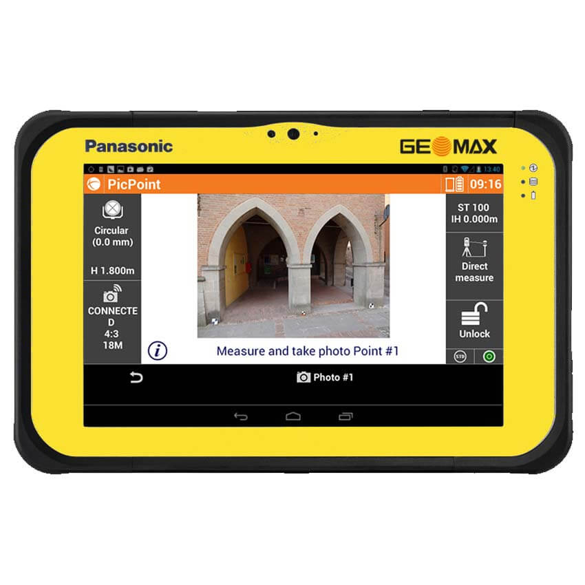
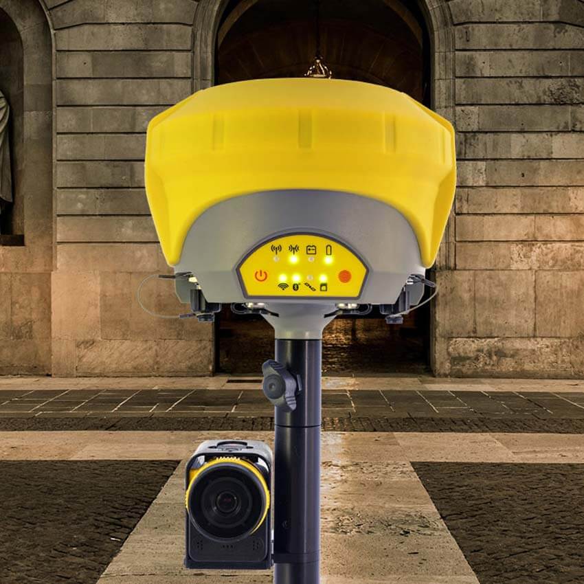
PicPoint combines GNSS measurements with images taken from the PicPoint camera attached to the pole. The innovative X-PAD Field Software running on an Android tablet uses photogrammetric principles to enable a point determination, CAD drawings and various COGO calculations, such as area and tie distance. Of course, measured points are visualized in the image allowing a visual completeness check of your survey directly on site. If you should ever have missed measuring some points, this can be done easily in the office.
Flexibile operations
PicPoint is suitable for all GeoMax GNSS, including Zenith15, Zenith25 Pro and Zenith35 Pro.
Robust device
PicPoint is waterproof, dustproof and shockproof.
Ease of use
With a guided workflow, fully-integrated X-PAD software, and a graphical view, PicPoint is easy to use even for beginners.
Combined imagery
Combining measurements with images taken from the PicPoint camera attached to the pole, clearly see and understand all points.
Specifications
| Brand | |
|---|---|
| Warranty | 1 year (Extendable for up to 2 years more) |
Informations
PRIORITY SHIPPING
We ship our products by most trusted shipping agencies – UPS & DHL
SHIPPING WORLDWIDE
We ship to any part of our World
FREE & FAST SHIPPING
Doesn’t matter where we will send instruments and equipment, shipment is free
ASSISTANCE
Contact us on +38766162261 (Mobile+ Viber + WhatsApp)
Bosna i Hercegovina
+38766162261
Serbia
+381640114686
Montenegro
+38267239669
E-mail [email protected].
Only logged in customers who have purchased this product may leave a review.


Reviews
There are no reviews yet.