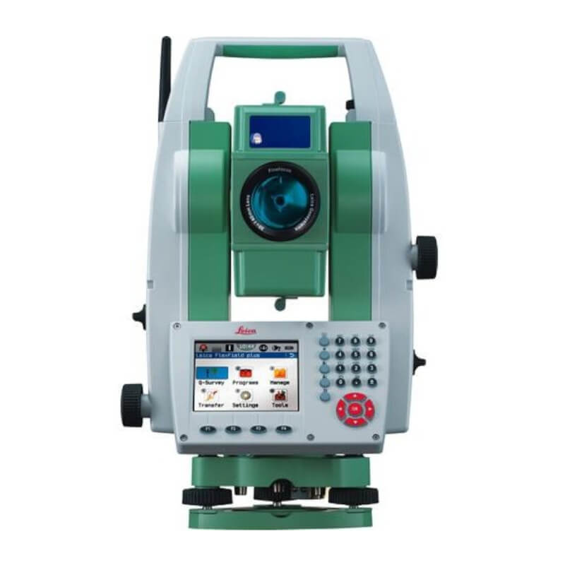
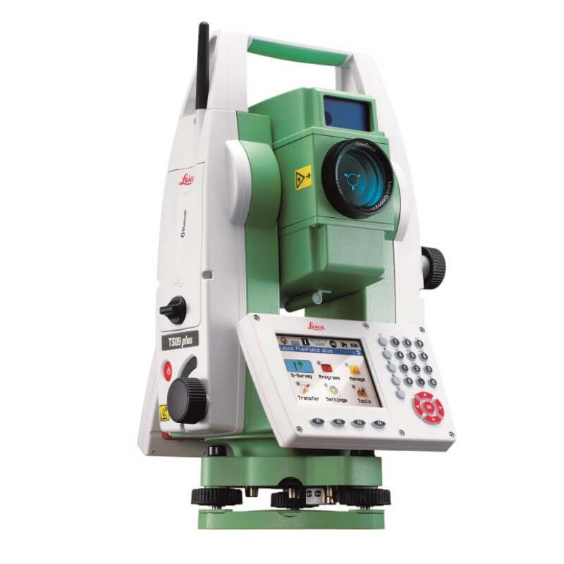
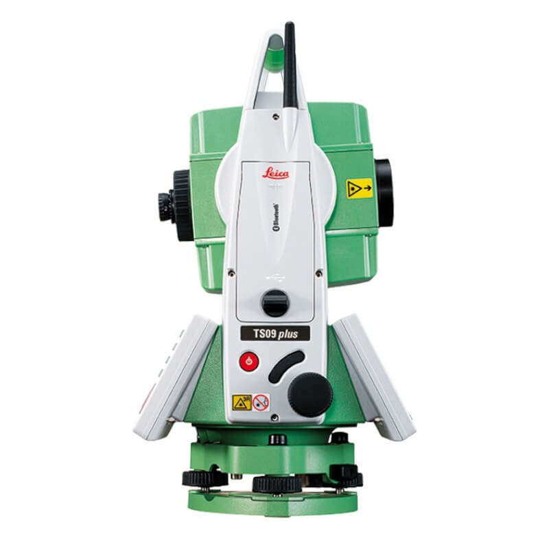
Leica TS09 3″ R500
Description
Leica TS09 3″ R500
A true performance orientated Total Station that continually delivers regardless how demanding the task may be. Designed especially for mid-to-high accuracy applications. Equipped with all FlexLine features from removable USB memory, Bluetooth® wireless technology, Emitting Guide Light to a complete range of application software, your TS09 guarantees maximum performance. If more convenient, use Bluetooth® wireless technology to connect any data collector, e.g. the Leica CS10/15. Use SmartWorx Viva or the software which best suits your task and familiarity.
Color & Touch display and Leica FlexField plus Onboard Software
Work productively with the new Leica FlexField plus onboard software and the new color & touch display.
Fast navigation inside the software via touch screen, tabs and icons
High resolution color display to show all information without misinterpretation
Low learning curve due to guided workflows
Easy to understand graphics and icons
Best-in-class Electronic Distance Measurement (EDM)
With PinPoint EDM, FlexLine plus delivers the optimal balance of range, accuracy, reliability, beam visibility, laser dot size and measurement time.
1.5 mm + 2 ppm to prism
2 mm + 2 ppm to any surface
Extremely fast (1 second)
1000 m range without a prism
Coaxial laser pointer and measurement beam
Flexible Data Exchange
USB Stick for fast and easy transfer of data (GSI, DXF, ASCII, LandXML, CSV, user-defined)
Built-in wireless Bluetooth for cable-free connection to any data logger, e.g. the field controller Leica Viva CS10 or CS15
Theft protection by Leica Geosystems – mySecurity
mySecurity gives you total peace of mind
If your instrument is ever stolen, a locking mechanism is available to ensure that the device is disabled and can no longer be used
FlexField & FlexOffice Software
FlexField on-board software and optional FlexOffice Software offer a broad range of functionality to cover all tasks. Benefit from simplicity and functionality in one solution.
Application Programs Included:
Topography (Orientation & Surveying), Stake Out, Resection, Height Transfer, Construction, Area (Plan & Surface), Volume Calculation, Tie Distance (MLM), Remote Height, Hidden Point, Offset, Reference Line, Reference Arc, Reference Plane, COGO, Road 2D, Roadworks 3D, TraversePRO.
Specifications
| Accuracy | 3" |
|---|---|
| Brand |
Informations
PRIORITY SHIPPING
We ship our products by most trusted shipping agencies – UPS & DHL
SHIPPING WORLDWIDE
We ship to any part of our World
FREE & FAST SHIPPING
Doesn’t matter where we will send instruments and equipment, shipment is free
ASSISTANCE
Contact us on +38766162261 (Mobile+ Viber + WhatsApp)
Bosna i Hercegovina
+38766162261
Serbia
+381640114686
Montenegro
+38267239669
E-mail [email protected].
Only logged in customers who have purchased this product may leave a review.


Reviews
There are no reviews yet.